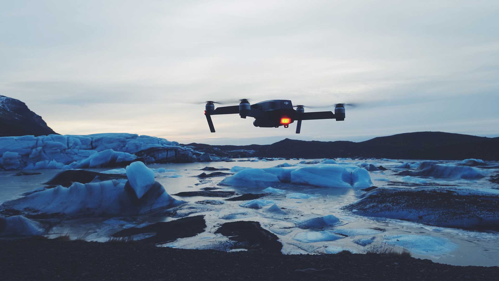
Unmanned Aerial Vehicles (UAV) is any flying vehicle which is not controlled by any man directly. These vehicles capture the Ground Spatial Data (GSD) by photogrammetric images captured by the drone. Then, with the help of software, the mapping and data collection is done.
Drone mapping companies are capable of doing these complex works and do the essential survey for your projects. They offer a broad range of services and gather up-to-date data according to the need of the organization.
Here are some of the popular ones:
Ortho-mosaic
Ortho-mosaic consists of two terms, Ortho (perpendicular) and Mosaic (small pieces joined together to make a big piece). A large image of a region that can calculate total distances between any two given points on the picture is an Ortho-photo or Ortho-mosaic.
As seen from above, a typical image is not standardized in terms of size. However, an Ortho-mosaic is such that the image’s scale to the real ground is uniform, thereby representing the land’s actual surface. One may refer to apps such as Felix, Pix4D, etc., to see Ortho-mosaic online.
Point Cloud
Imagine this whole world just like points. That’s what a point cloud is: a real-world 3D image in the form of points. In other words, it is a set of a large number of dots/pixels where each dot has a position of X, Y and Z in a given 3D coordinate system, and also a corresponding color value of R, G, B, such that all the dots appear like a visual copy of the real world when combined according to their position in the coordinate system.
Point Cloud allows us to measure 3D, unlike Ortho-mosaic, where we can only measure 2D (distance/length), allowing us to find the difference in height between two points, volume measurement of a given area, elevation profile of a segment, etc. Felix, Pix4D etc. are the appropriate online applications for the point cloud.
3D Mesh
The most detailed representation of the real-world of any shape is a 3D mesh. A 3D Mesh is infinite, analogous to the real world, unlike the point cloud, a finite series of points.
It also allows us the independence of 3-dimensional (3D) calculation, allowing us to calculate the difference in height between two points, the estimate of the volume of a given area, the elevation profile of a segment, etc.
Digital Elevation Model
In basic terms, it can be referred to as the Model of Digital Height. Thus, a digital elevation model (DEM) describes a landscape’s surface only in terms of its height. DEMs are the supersets of the Digital Surface Models and Digital Terrain Models.
Conclusion
The market for high-quality aerial data collection from drones or UAVs is growing fast. Now, professional standard aerial mapping drones are readily available at reasonable rates.
It’s not just the big boys of the industry using them. The technology reduces the guesswork when it comes to judging various details, which can theoretically help you save time and money on your surveying project.
